Bay of Bengal Depression to Drench East India, Rain Front May March to Delhi-Chandigarh Belt
A fresh Bay of Bengal low intensifying into a depression threatens heavy to extremely heavy rain across West Bengal, Odisha, Jharkhand and Chhattisgarh over the next three days, before its remnant circulation potentially sweeps north-westwa

The short answer
A well-marked low over the Bay of Bengal is set to deepen into a depression and drive heavy to very heavy rainfall across West Bengal, Odisha, Jharkhand and Chhattisgarh through Saturday, August 15. By Sunday, the system's remnant circulation is expected to recurve north-westward, potentially carrying significant rain to the Delhi-Chandigarh-Haryana belt and West Uttar Pradesh. With India's countrywide monsoon deficit currently at 12 per cent, this depression could narrow the shortfall — especially in East and North-East India, where the gap stands at 26 per cent.
The weather system
Bay Low Deepens Into Depression, Eastern States on High Alert
A low-pressure area that had already strengthened into a well-marked low by early Thursday morning is expected to intensify further into a depression later the same day, the India Meteorological Department (IMD) has confirmed. West Bengal faces the brunt immediately: heavy to very heavy rain with isolated extremely heavy falls is forecast for Thursday, followed by heavy to very heavy rain on Friday and heavy rain on Saturday — Independence Day.
IMD has extended heavy-rain alerts to Odisha, Jharkhand and Chhattisgarh as the system gains traction. Fishermen along the Odisha and West Bengal coasts have been advised to remain off the sea through Friday, given the dangerous sea conditions the developing depression is expected to generate.
The system is projected to move toward coastal West Bengal and adjoining Bangladesh before crossing the West Bengal plains toward Jharkhand.
The northward march
Remnant Circulation Could Sweep Rain to Delhi-Chandigarh Belt From Sunday
Once the depression crosses inland, its remnant circulation is forecast to turn north-westward from Sunday onward, dragging a significant rain belt toward the Delhi-Chandigarh-Haryana corridor and West Uttar Pradesh. The European EC-AIFS model supports this trajectory, suggesting the heavy-rain zone could recurve toward North-West India and the Himalayan foothills as the Bay system weakens into next week.
This track marks a meaningful shift in the monsoon's geography. A broad monsoon setup, previously reinforced by twin low-pressure areas over both East India and North-West India, is now narrowing — with the Bay system taking over as the principal rain-maker for East, North-East and eventually North-West India.
The earlier low over North-West India has weakened, while West India — particularly East Gujarat, Saurashtra and Kutch — may still see moderate rainfall as the remnant of that predecessor system interacts with an incoming western disturbance from across the Pakistan border.
The deficit picture
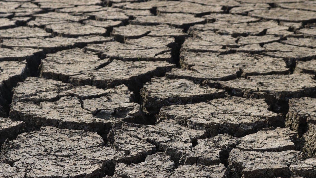
Monsoon 12% in the Red Nationally, But Distribution Remains Broadly Even
Despite concerns that a strengthening El Niño over the eastern and equatorial Pacific could undercut the season, the overall monsoon picture is considerably less alarming than earlier projections feared, according to IMD data as of Wednesday, August 12.
The national rainfall deficit stands at 12 per cent. The regional breakdown reveals a clear hierarchy of concern:
- East & North-East India: 26% below normal — the most stressed region
- South Peninsula: 19% below normal, still within IMD's 'normal' range
- North-West India: 11% deficit
- Central India: Just 1% deficit — virtually at par with the long-period average
The incoming depression is well-placed to narrow the gap in East and North-East India directly, and reinforce gains in North-West India as it travels inland — making it one of the more consequential single weather systems of the season so far.
The broader outlook
Rest of Country Faces Subdued Monsoon Phase Into Next Week
Beyond the depression's direct path, the monsoon is expected to remain relatively quiet for most of the country into next week. Parts of the east coast are the key exception, likely to continue receiving rainfall even as the main system moves inland.
For farmers and agri-businesses in West India, there is a moderate silver lining: the remnant of the earlier North-West India low could interact with a western disturbance approaching from the Pakistan border, delivering moderate rainfall to East Gujarat, Saurashtra and Kutch.
The overall read from IMD and global models is that the season's rainfall has been broadly well distributed in spite of the El Niño headwind — and the arriving Bay depression, described as a concentrated burst of rain rather than a widespread revival, promises to do meaningful work on the east's deficit before potentially extending benefits northward.
Why it matters
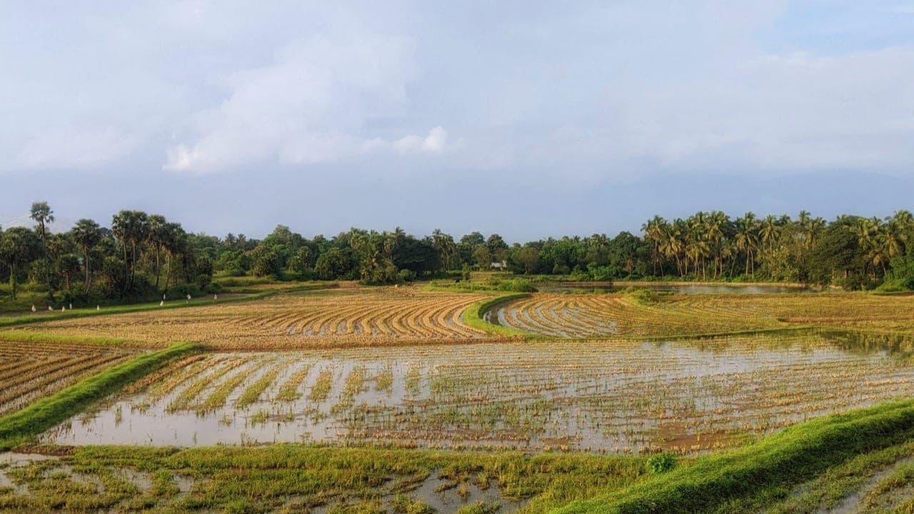
For farmers across eastern India, the incoming depression spells a critical window of intense rainfall that could ease crop-water stress in kharif fields — but also raises flood and waterlogging risks in low-lying paddy areas. Agri-businesses and commodity traders tracking kharif procurement should watch how the system's northwestward track affects rainfall distribution across the Indo-Gangetic plains in the days that follow. With the national deficit at 12 per cent and the East and North-East lagging at 26 per cent below normal, this single weather system carries an outsized role in determining the season's final rainfall tally. Policymakers should monitor fishery advisories along the Odisha and West Bengal coasts, where fishing communities have already been asked to stay ashore through Friday.
Frequently asked
Which states are on heavy-rain alert due to the Bay of Bengal depression?
The India Meteorological Department has issued heavy-rain alerts for West Bengal, Odisha, Jharkhand and Chhattisgarh for the next two to three days as the Bay of Bengal low intensifies into a depression.
Will the depression affect North-West India and Delhi?
According to IMD and the European EC-AIFS model, the depression's remnant circulation is expected to turn north-westward from Sunday, potentially bringing heavy rain to the Delhi-Chandigarh-Haryana belt and West Uttar Pradesh.
What is India's current monsoon rainfall deficit?
As of August 12, the countrywide rainfall deficit stands at 12 per cent. East and North-East India are the most affected, with a 26 per cent shortfall, while Central India is virtually at par with only a 1 per cent deficit.
Have fishermen been warned about the developing depression?
Yes. Fishermen along the Odisha and West Bengal coasts have been advised by IMD to stay off the sea through Friday due to dangerous sea conditions expected from the intensifying depression.
Source
This report summarises and analyses coverage from The Hindu BusinessLine — Agri Business. The analysis and India context are IndianAgri's own.